
THE MET OFFICE has issued a yellow weather warning for fog across parts of the North East and Yorkshire, including Durham, Newcastle, and York.
The warning is in effect for over 10 hours, from 10:40 pm on Sunday until 9:00 pm on Monday.
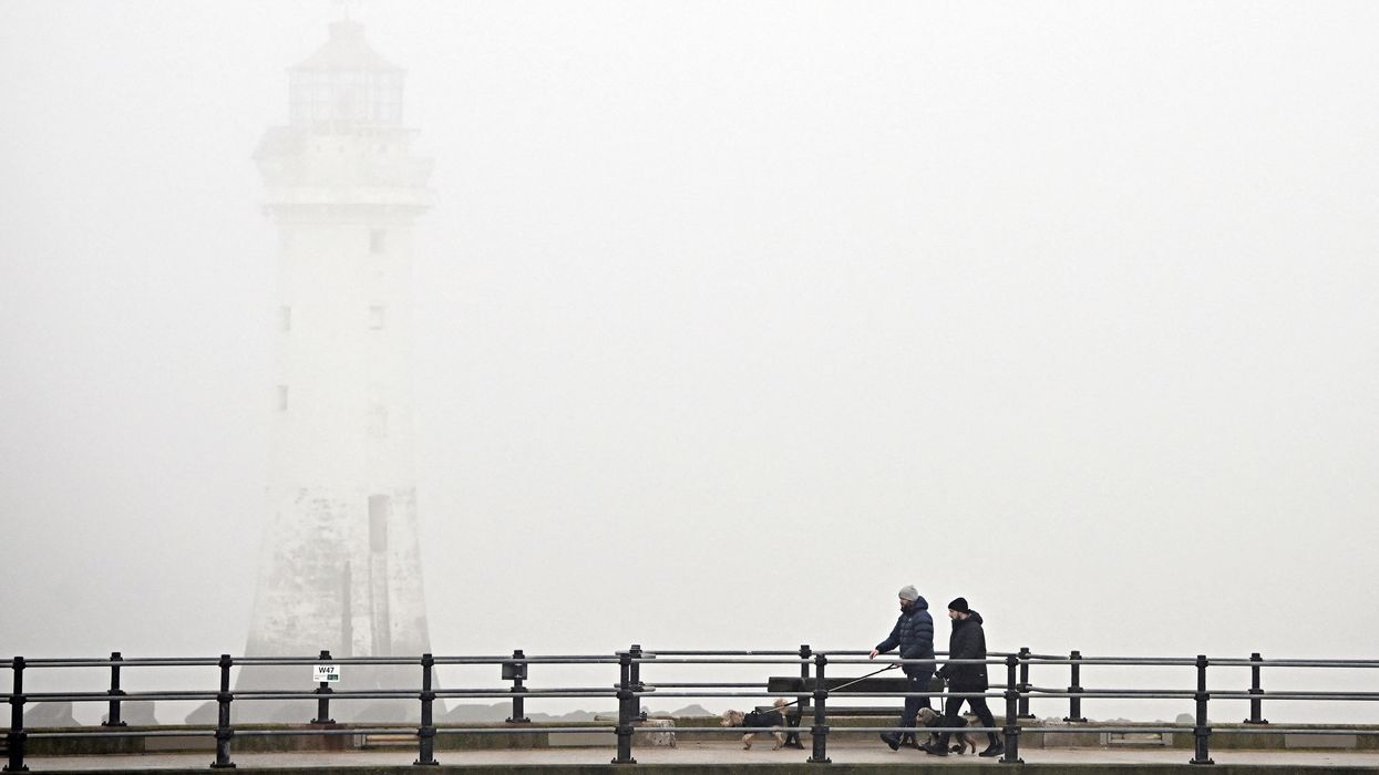
The Met Office stated that some areas could experience dense fog, with visibility dropping to as low as 50 metres. Travel disruption is possible, with road, rail, air, and ferry services potentially affected.
The warning advises motorists to check road conditions, allow extra journey time, and ensure fog lights are functioning before setting off. Travellers are also advised to check for updates from their transport providers.
Temperatures are set to drop across the country. Craig Snell, a meteorologist at the Met Office, told The Independent: “It’s been widely warm across the east and west, and it’s been pleasant in Scotland and Northern Ireland. It’s been fairly decent, and Sunday was the warmest day of 2025 so far.”
Snell added that cooler conditions will spread across the country next week. “The south will hang on to milder conditions on Monday, probably around 17C or 18C, but it will be cloudier. In the north, it’ll be much cooler, and bands of patchy rain will move in and gradually move southwards.”
Temperatures in the north are expected to range between 6C and 8C, while the south will see highs of 8C to 9C. The cooler weather will persist through midweek, with scattered showers in northern and eastern areas.
Snell said: “Conditions will stay in single figures and it’ll be a cold midweek, particularly when compared with this weekend. It won’t be a washout and there will be plenty of dry spells. But it’ll be the breeze that keeps those temperatures down.”
By Friday and Saturday, similar conditions are expected before temperatures begin to rise slightly into the weekend.


